iFANN
    Cerca su iFANN...
    Accedi
    Home
    Notizie
    Video
    Foto
    GIF
    Esplora
    Sondaggi
    Premi
    iFAMOUS
    Wiki
    Anime
    Stanze
    Notifiche
    Messaggi
    Segnalibri
    Profilo
    WikiPremiiFAMOUSClassificheSettoriRicompense CreatorRicompense UtenteTerminiPrivacyLinee guida della communityRimozione / DMCAAiutoSviluppatori

    © 2026 iFANN

    Home
    Cerca
    Messaggi
    Avvisi
    Profilo
    Foto
    Savage Updates
    Savage Updates@savageupdates1mo
    💭Info/Editorials💭History
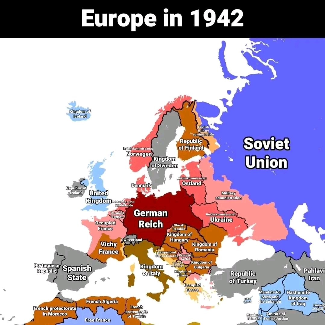
    Europe in 1942

    @savageupdatesEurope in 1942 is the subject here

    Vedi post originale

    Europe in 1942

    Foto di @savageupdates· Oct 4, 2026· Info/Editorials

    Su questa foto

    This is a historical map of Europe in 1942. The map shows the political divisions and occupied territories across the continent during World War II. The style is informative and educational, with clear labels and distinct color-coding for different regions and political entities. A notable detail is the prominent display of the "German Reich" in a deep red, highlighting its central and dominant position. The on-screen text reads "Europe in 1942".

    Vedi tutte le foto di Info/Editorials

    ?

    Ancora nessun commento. Sii il primo!

    Altre foto di Info/Editorials

    Vedi tutte le foto di Info/Editorials
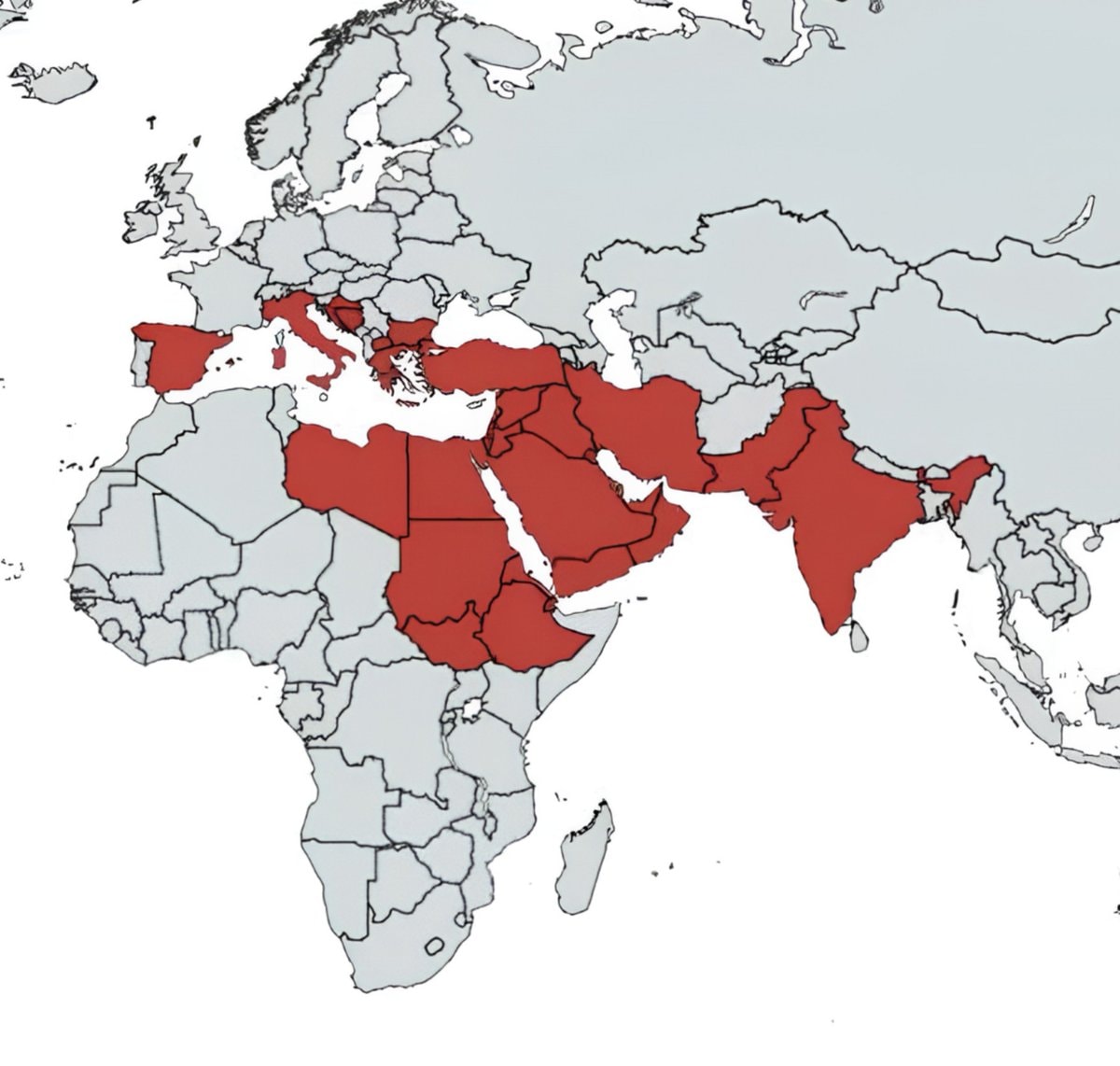
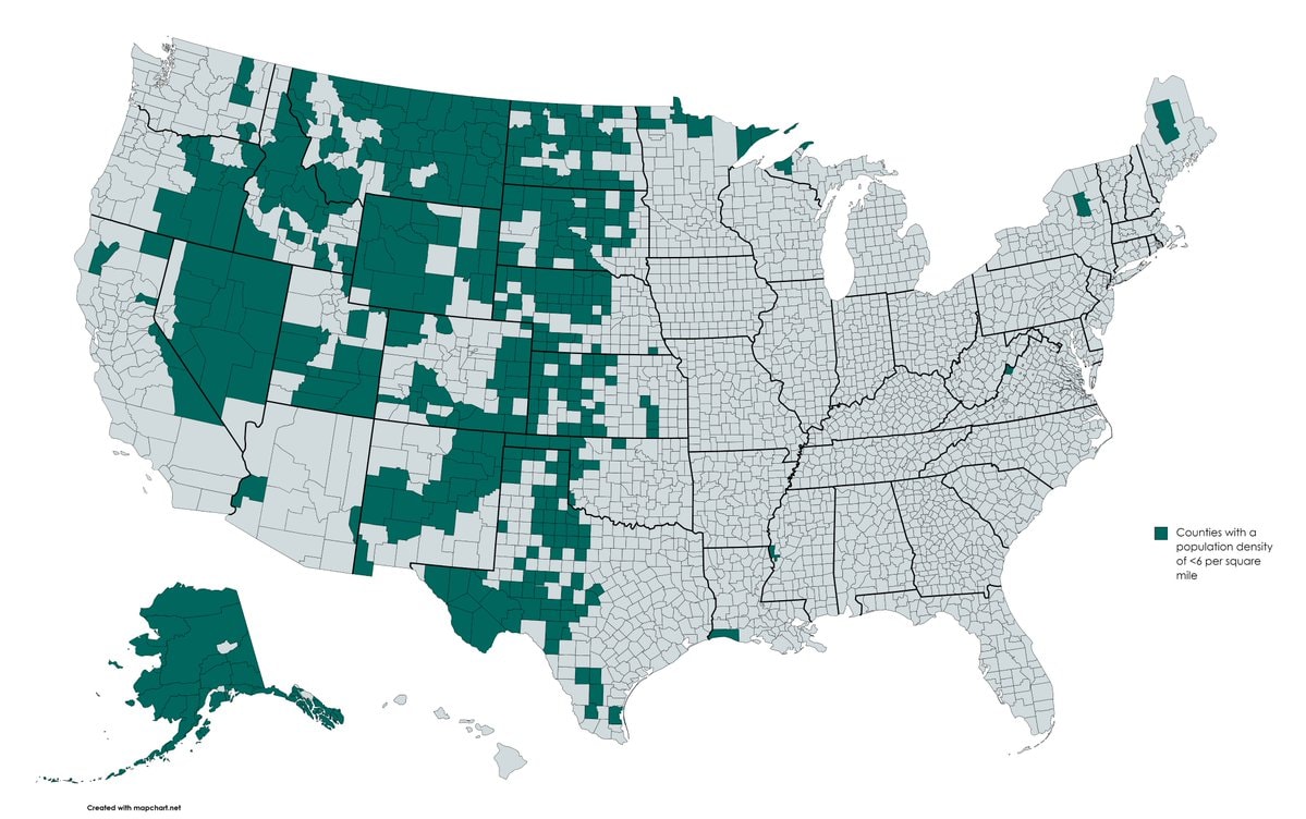
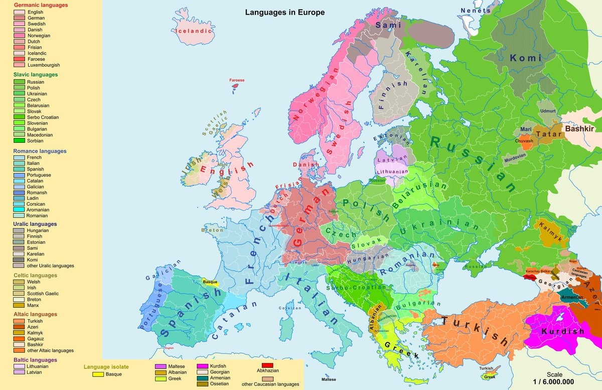
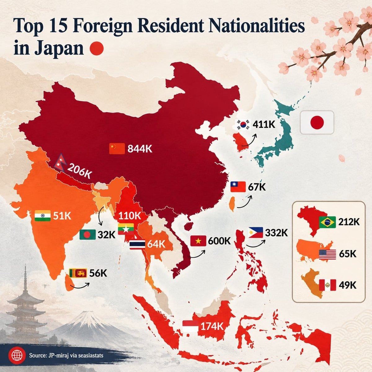
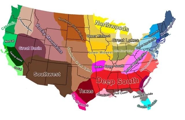
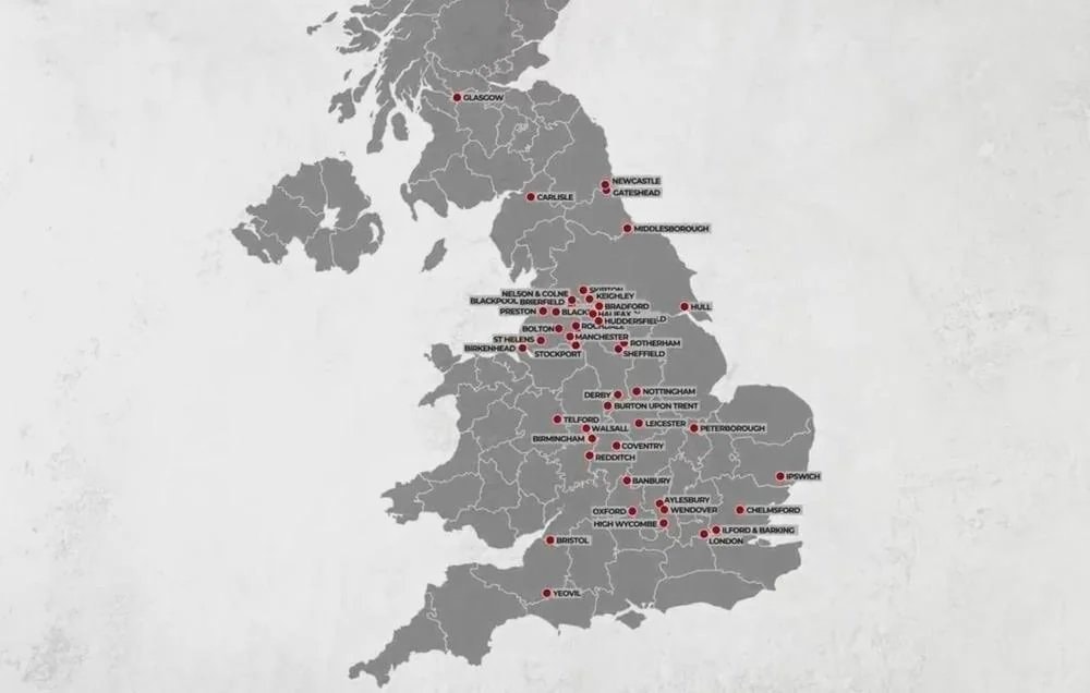
    Nations Mentioned in the Holy BibleNations Mentioned in the Holy BibleGlobal Iconic Landmarks List2Global Iconic Landmarks ListRichest and poorest US counties by stateRichest and poorest US counties by stateUS counties under six people per square mileUS counties under six people per square mileLinguistic map of EuropeLinguistic map of EuropeTop 15 Foreign Resident Nationalities in JapanTop 15 Foreign Resident Nationalities in JapanU.S. cultural regions mapU.S. cultural regions mapUK grooming gang activity locationsUK grooming gang activity locations
    Foto
    Savage Updates
    Savage Updates@savageupdates1mo
    💭Info/Editorials💭History
    Europe in 1942

    @savageupdatesEurope in 1942 is the subject here

    Vedi post originale

    Europe in 1942

    Foto di @savageupdates· Oct 4, 2026· Info/Editorials

    Su questa foto

    This is a historical map of Europe in 1942. The map shows the political divisions and occupied territories across the continent during World War II. The style is informative and educational, with clear labels and distinct color-coding for different regions and political entities. A notable detail is the prominent display of the "German Reich" in a deep red, highlighting its central and dominant position. The on-screen text reads "Europe in 1942".

    Vedi tutte le foto di Info/Editorials

    ?

    Ancora nessun commento. Sii il primo!
    Altre foto di Info/Editorials

    Vedi tutte le foto di Info/Editorials
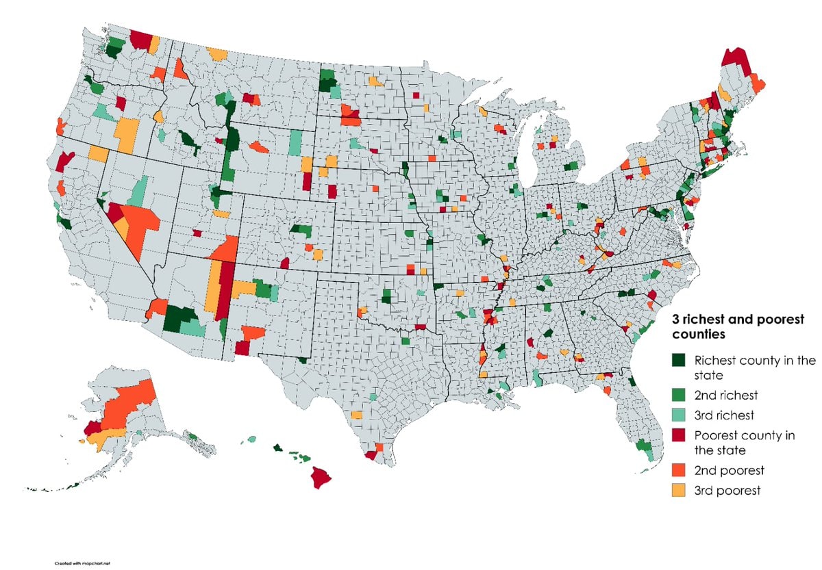
    Nations Mentioned in the Holy BibleNations Mentioned in the Holy BibleGlobal Iconic Landmarks List2Global Iconic Landmarks ListRichest and poorest US counties by stateRichest and poorest US counties by stateUS counties under six people per square mileUS counties under six people per square mileLinguistic map of EuropeLinguistic map of EuropeTop 15 Foreign Resident Nationalities in JapanTop 15 Foreign Resident Nationalities in JapanU.S. cultural regions mapU.S. cultural regions mapUK grooming gang activity locationsUK grooming gang activity locations