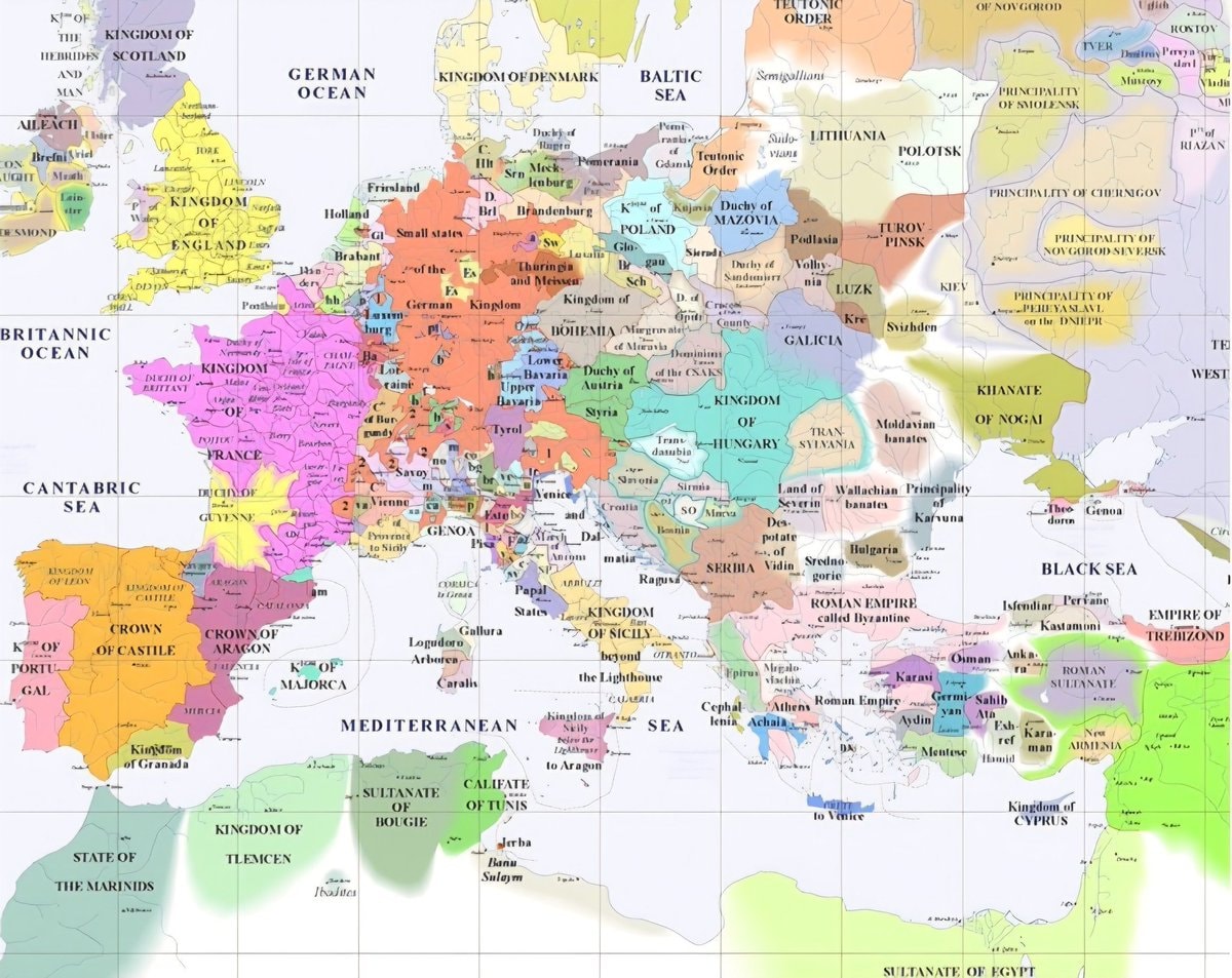
@scarlett_sEurope, mid-14th century
Vedi post originale@scarlett_sEurope, mid-14th century
Vedi post originaleFoto di @scarlett_s· Oct 7, 2026· History
The image is a historical map of Europe and the Mediterranean region. It shows various kingdoms, duchies, principalities, and empires with different colored territories. The map is detailed and appears to be from a specific historical period, likely medieval or early modern, given the political divisions. The overall style is that of an educational or informational map, with clear labels for regions and political entities. Notable details include the distinct borders and names of numerous states like the Kingdom of England, France, the Holy Roman Empire, and the Byzantine Empire. ON-SCREEN TEXT: KINGDOM OF THE HEBRIDES AND MAN, A LEACH, KINGDOM OF SCOTLAND, GERMAN OCEAN, KINGDOM OF DENMARK, BALTIC SEA, SEMIGALLIA, LITHUANIA, POLOTSK, PRINCIPALITY OF SMOLENSK, DUCHY OF RUGEN, POMERANIA, BRANSDENBURG, SAXONY, BOHEMIA, MORAVIA, AUSTRIA, HUNGARY, TRAN SYLVANIA, LAND OF WALLACHIA, PRINCIPAL
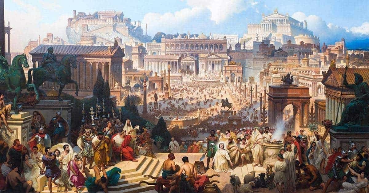 2Roman Empire viewed from space
 anime character collage
 2Jacobo Grinberg-Zylberbaum 1994 disappearance
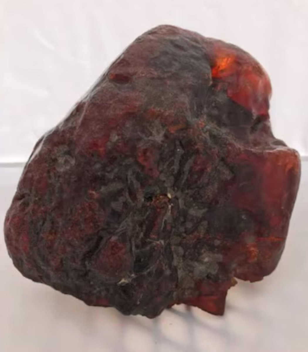 2Romania amber doorstop worth $1.1 million
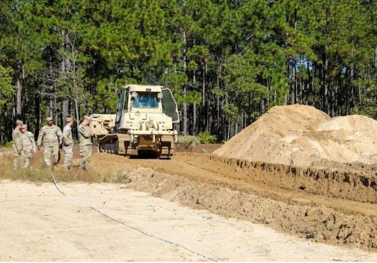 US Army battlefield interment exercise
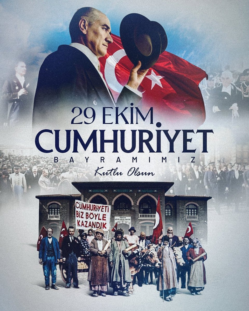 Republic Day October 29
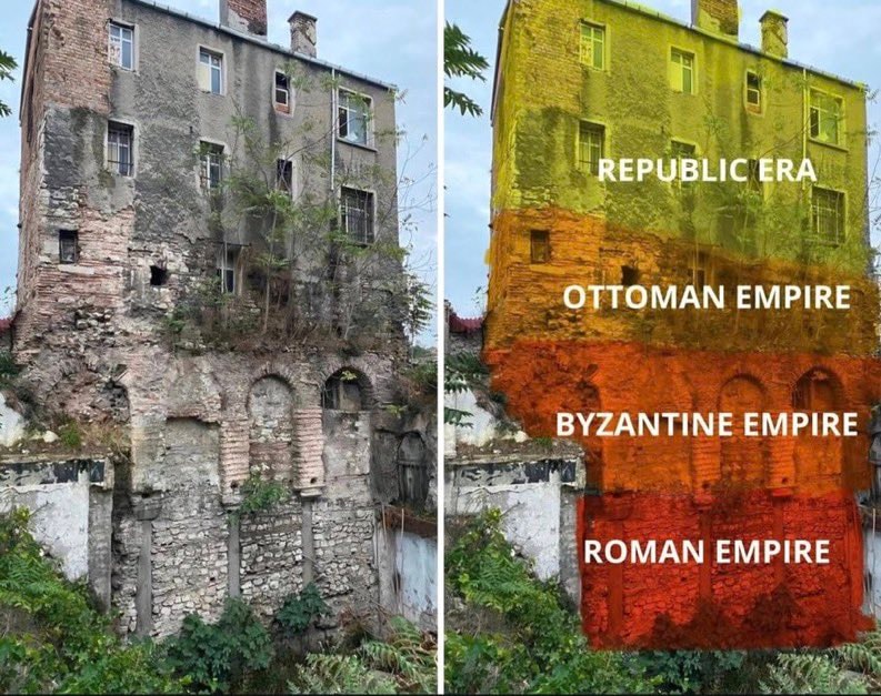 historic building
 Deadliest railway disasters in history
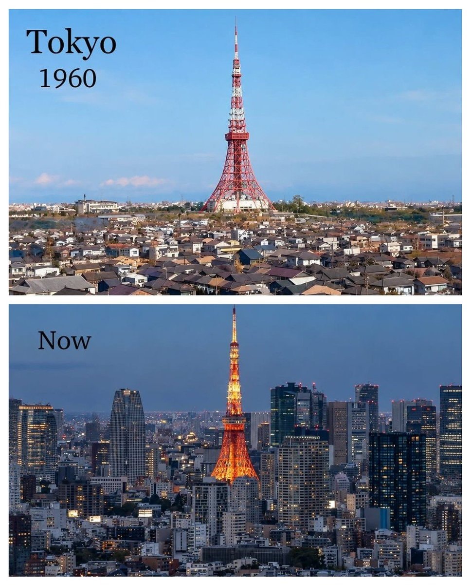 Tokyo 1960 vs present
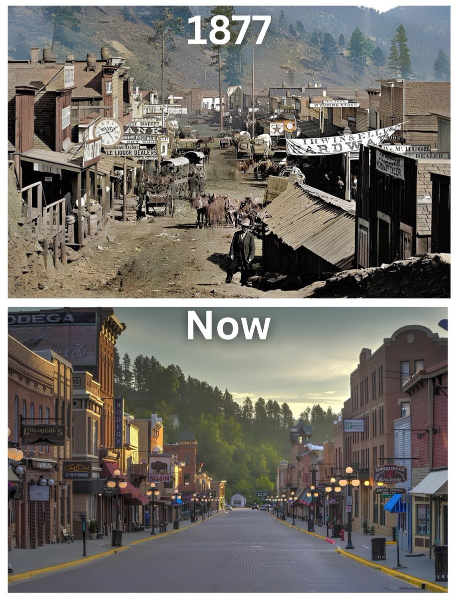 Deadwood South Dakota 1877
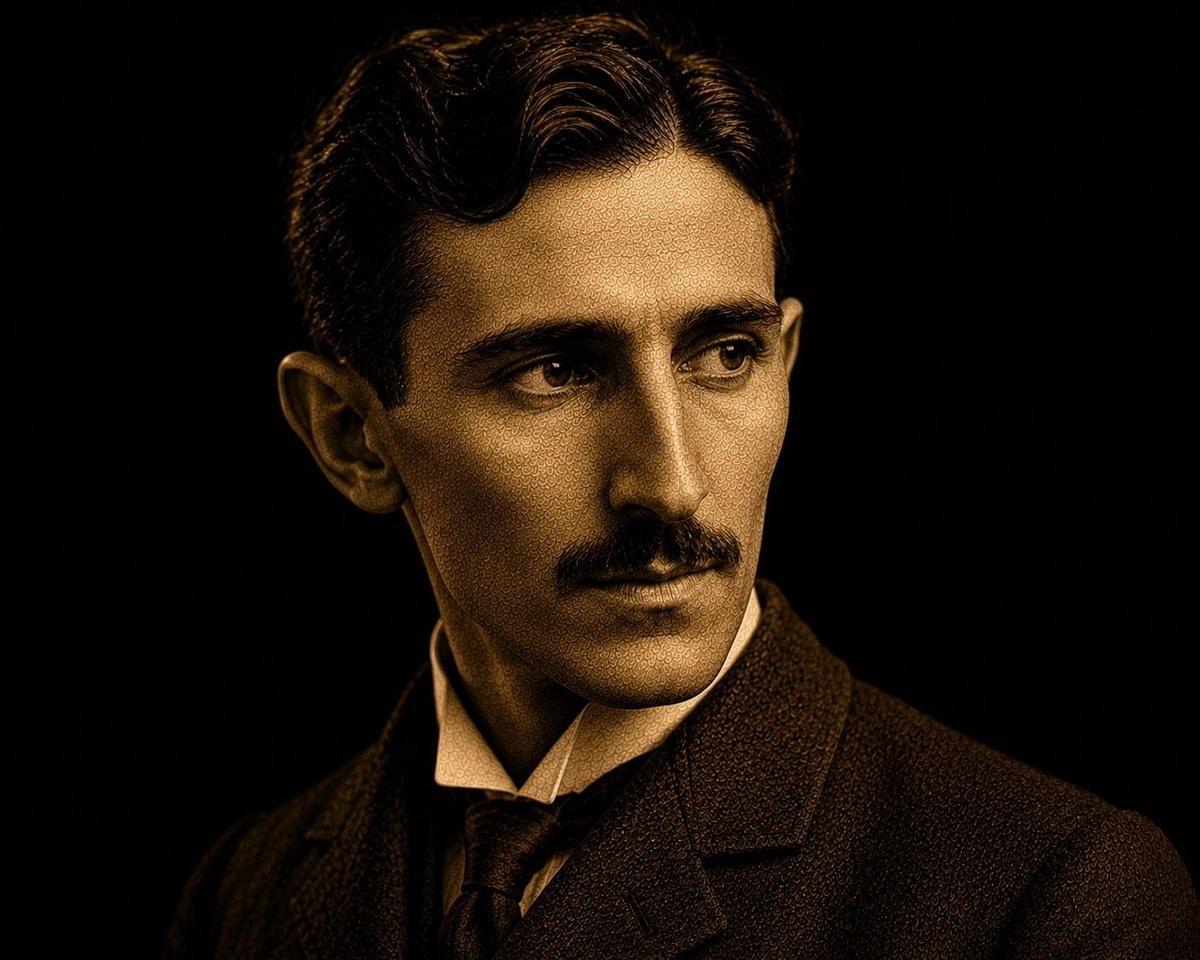 Nikola Tesla quote on power and minds
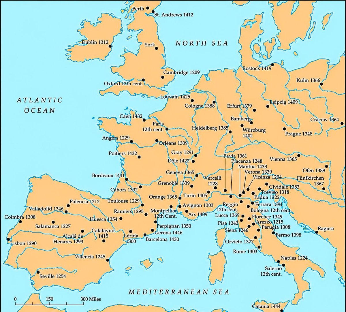 Medieval universities of Europe map
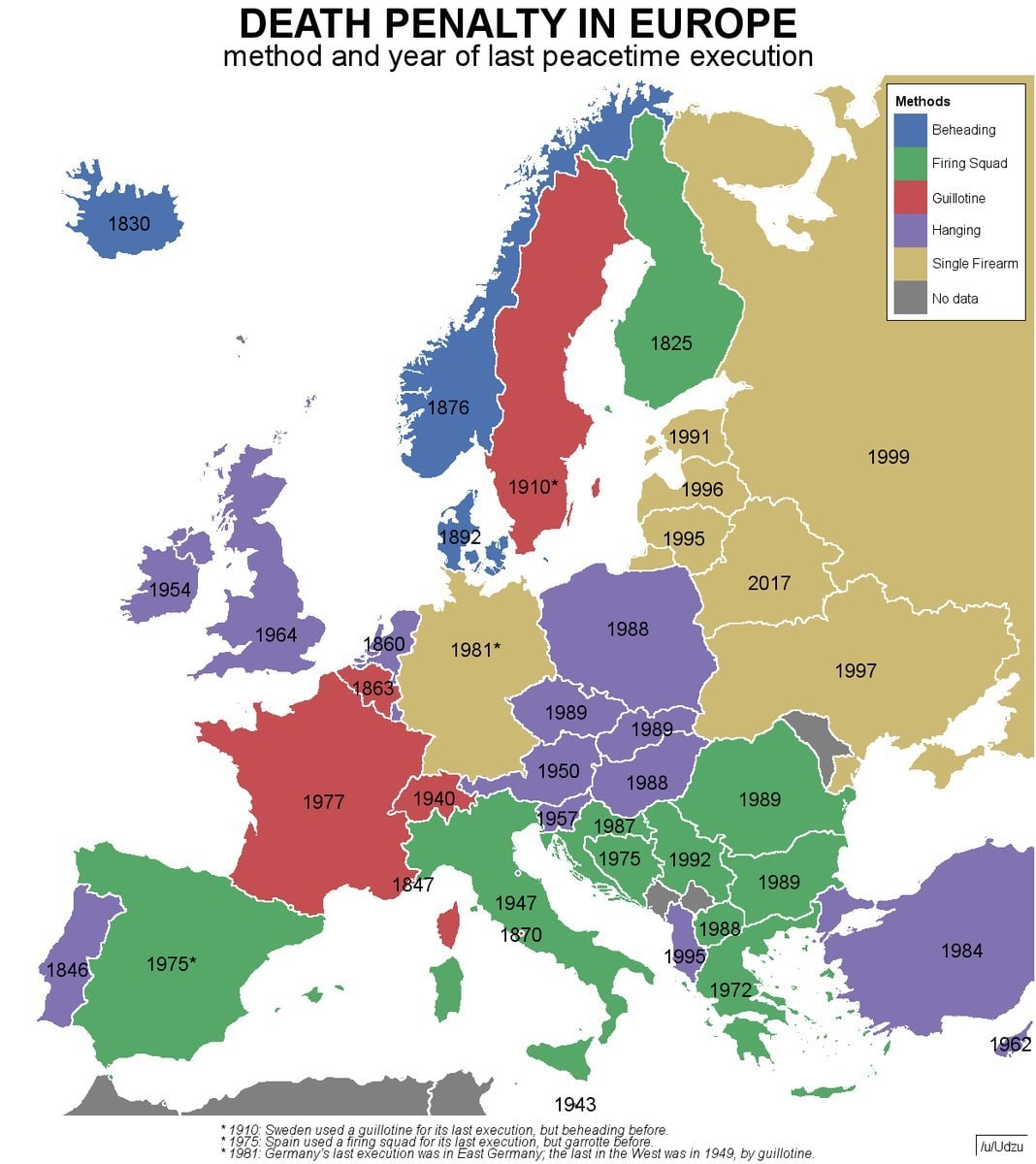 Europe death penalty map
 Amber amulet from Slupsk, Poland
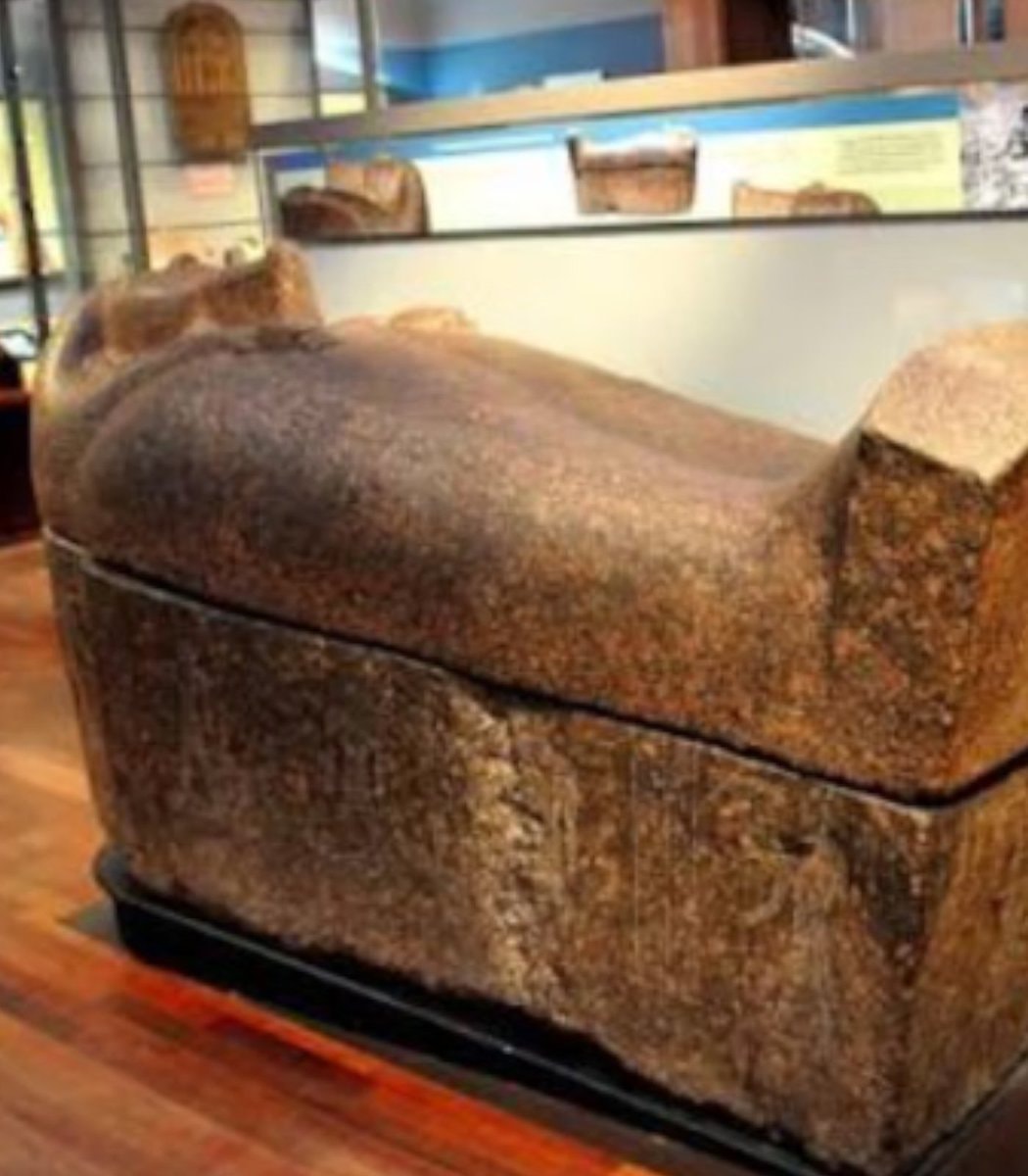 2Scottish museum removes mummies from display
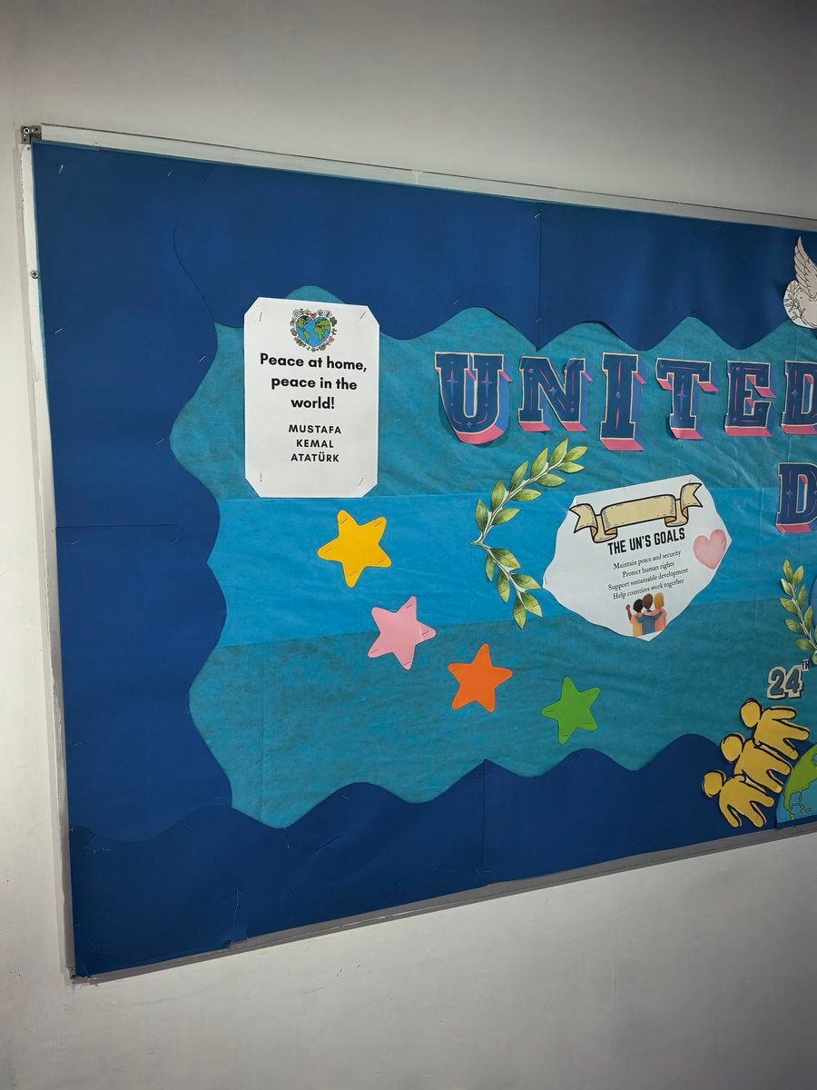 Mustafa Kemal Ataturk peace quote
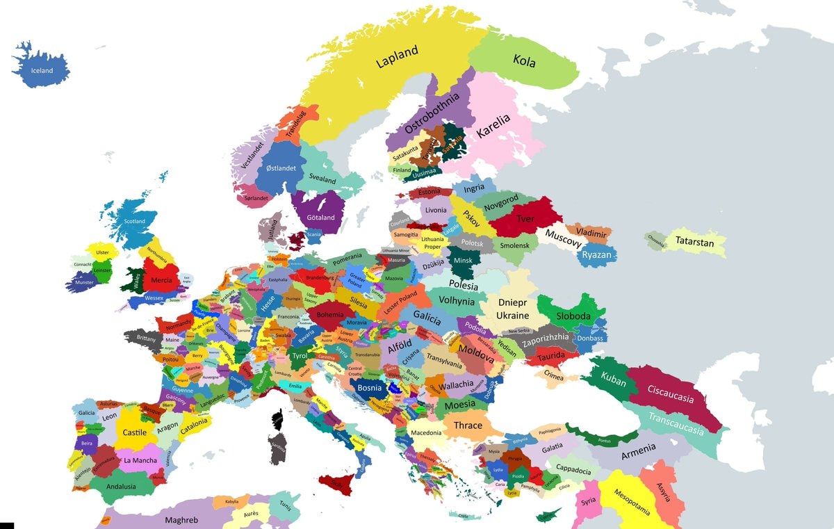 Historical regions of Europe map
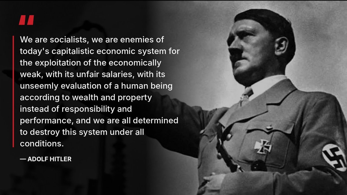 Oliver on Hitler and socialism
@scarlett_sEurope, mid-14th century
Vedi post originaleFoto di @scarlett_s· Oct 7, 2026· History
The image is a historical map of Europe and the Mediterranean region. It shows various kingdoms, duchies, principalities, and empires with different colored territories. The map is detailed and appears to be from a specific historical period, likely medieval or early modern, given the political divisions. The overall style is that of an educational or informational map, with clear labels for regions and political entities. Notable details include the distinct borders and names of numerous states like the Kingdom of England, France, the Holy Roman Empire, and the Byzantine Empire. ON-SCREEN TEXT: KINGDOM OF THE HEBRIDES AND MAN, A LEACH, KINGDOM OF SCOTLAND, GERMAN OCEAN, KINGDOM OF DENMARK, BALTIC SEA, SEMIGALLIA, LITHUANIA, POLOTSK, PRINCIPALITY OF SMOLENSK, DUCHY OF RUGEN, POMERANIA, BRANSDENBURG, SAXONY, BOHEMIA, MORAVIA, AUSTRIA, HUNGARY, TRAN SYLVANIA, LAND OF WALLACHIA, PRINCIPAL
Ancora nessun commento. Sii il primo!
2Roman Empire viewed from spaceanime character collage2Jacobo Grinberg-Zylberbaum 1994 disappearance2Romania amber doorstop worth $1.1 millionUS Army battlefield interment exerciseRepublic Day October 29historic buildingDeadliest railway disasters in historyTokyo 1960 vs presentDeadwood South Dakota 1877Nikola Tesla quote on power and mindsMedieval universities of Europe mapEurope death penalty mapAmber amulet from Slupsk, Poland2Scottish museum removes mummies from displayMustafa Kemal Ataturk peace quoteHistorical regions of Europe mapOliver on Hitler and socialism
Ancora nessun commento. Sii il primo!