iFANN
    Cerca su iFANN...
    Accedi
    Home
    Notizie
    Video
    Foto
    GIF
    Esplora
    Sondaggi
    Premi
    iFAMOUS
    Wiki
    Anime
    Stanze
    Notifiche
    Messaggi
    Segnalibri
    Profilo
    WikiPremiiFAMOUSClassificheSettoriRicompense CreatorRicompense UtenteTerminiPrivacyLinee guida della communityRimozione / DMCAAiutoSviluppatori

    © 2026 iFANN

    Home
    Cerca
    Messaggi
    Avvisi
    Profilo
    Foto
    Gabriel K
    Gabriel K@gabriel_k2w
    🌍Iran💭News💭Politics
    U.S.S. Abraham Lincoln deployment map

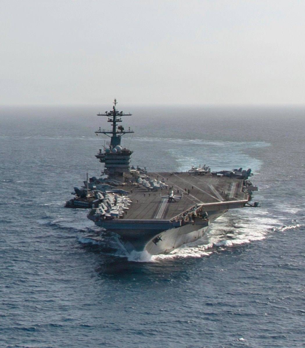
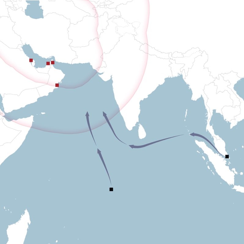
    @gabriel_kThe U.S. Navy aircraft carrier U.S.S. Abraham Lincoln wrapped up a nine-month deployment at sea without ever docking. The situation shifted on February 28, the first day of the war, when Iran destroyed a critical naval logistical base in Bahrain. Other regional ports capable of hosting aircraft carriers or replenishment ships became inaccessible because they fell within range of Iranian missiles and unmanned aerial vehicles. This created immense logistical challenges as the ships require over 420,000 meals weekly and approximately eight million gallons of fuel. 🇺🇸🇮🇷

    Vedi post originale

    U.S.S. Abraham Lincoln deployment map

    Foto di @gabriel_k· Sep 3, 2026· Iran

    Su questa foto

    The image is a map showing the Arabian Peninsula, India, Southeast Asia, and parts of the Indian Ocean. Red squares mark locations in the Persian Gulf region, and black squares mark locations in the Indian Ocean and near Indonesia. Purple arrows indicate movement or influence radiating from the Persian Gulf and also show routes across the Indian Ocean. The style is informational and graphic, with subtle pink circles suggesting areas of influence or reach.

    Vedi tutte le foto di Iran

    ?

    Altre foto di Iran

    Vedi tutte le foto di Iran
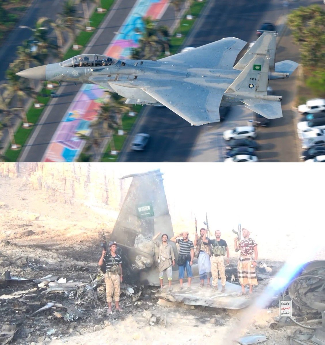
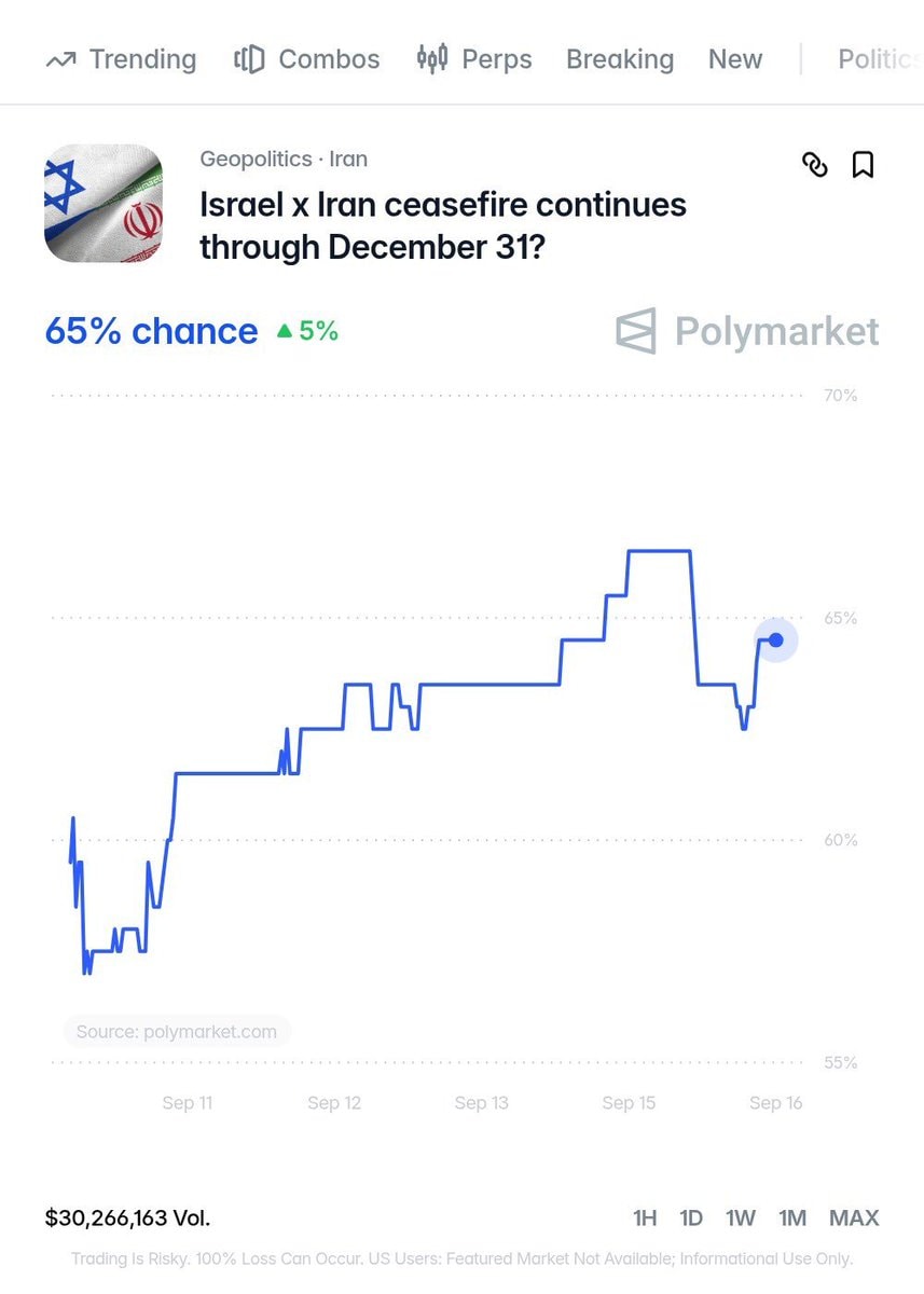
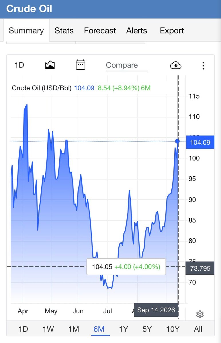
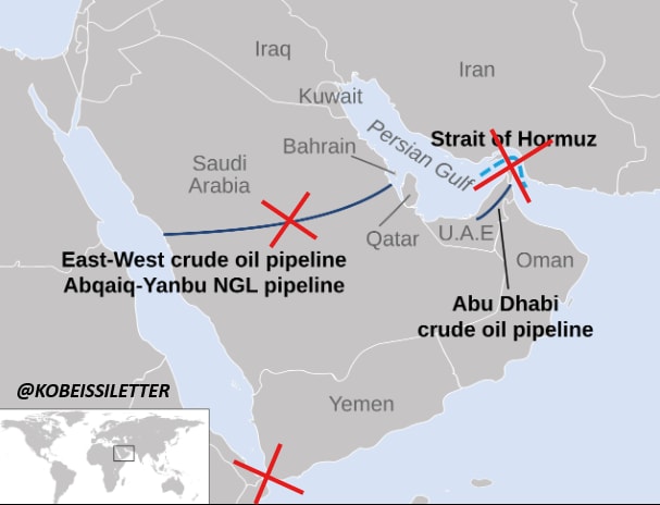
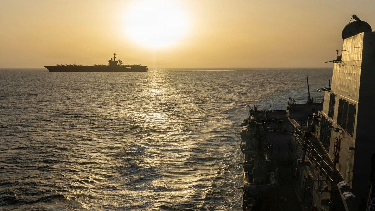
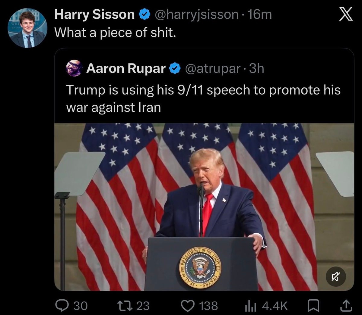
    IRGC Navy commander Ali Asghari on HormuzIRGC Navy commander Ali Asghari on HormuzStrait of Hormuz closure condition2Strait of Hormuz closure conditionDonald Trump oil reserve drop3Donald Trump oil reserve dropZulqader on Hormuz and leadership changes2Zulqader on Hormuz and leadership changesSaudi F-15 targeted by HouthisSaudi F-15 targeted by HouthisIsrael Iran ceasefire oddsIsrael Iran ceasefire oddsVance Iran conflict phase 2028Vance Iran conflict phase 2028US Navy aircraft carrier2US Navy aircraft carrierOil prices and the Strait of Hormuz closureOil prices and the Strait of Hormuz closureTrump on Iran and dieselTrump on Iran and dieselGulf Oil Routes Compromised MapGulf Oil Routes Compromised MapUS Navy escorts Strait of Hormuz tankers3US Navy escorts Strait of Hormuz tankersTrump and Saudi dignitary at ceremonial eventTrump and Saudi dignitary at ceremonial eventIran nuclear material UN accusation2Iran nuclear material UN accusationTrump 9/11 speech Harry SissonTrump 9/11 speech Harry SissonIran Claude AI US Navy warships2Iran Claude AI US Navy warshipsIran suspends 10% freight fee on foreign vessels2Iran suspends 10% freight fee on foreign vesselsIran Pickaxe Mountain site monitoringIran Pickaxe Mountain site monitoring
    Foto
    Gabriel K
    Gabriel K@gabriel_k2w
    🌍Iran💭News💭Politics
    U.S.S. Abraham Lincoln deployment map

    @gabriel_kThe U.S. Navy aircraft carrier U.S.S. Abraham Lincoln wrapped up a nine-month deployment at sea without ever docking. The situation shifted on February 28, the first day of the war, when Iran destroyed a critical naval logistical base in Bahrain. Other regional ports capable of hosting aircraft carriers or replenishment ships became inaccessible because they fell within range of Iranian missiles and unmanned aerial vehicles. This created immense logistical challenges as the ships require over 420,000 meals weekly and approximately eight million gallons of fuel. 🇺🇸🇮🇷

    Vedi post originale

    U.S.S. Abraham Lincoln deployment map

    Foto di @gabriel_k· Sep 3, 2026· Iran

    Su questa foto

    The image is a map showing the Arabian Peninsula, India, Southeast Asia, and parts of the Indian Ocean. Red squares mark locations in the Persian Gulf region, and black squares mark locations in the Indian Ocean and near Indonesia. Purple arrows indicate movement or influence radiating from the Persian Gulf and also show routes across the Indian Ocean. The style is informational and graphic, with subtle pink circles suggesting areas of influence or reach.

    Vedi tutte le foto di Iran

    ?

    Altre foto di Iran

    Vedi tutte le foto di Iran
    IRGC Navy commander Ali Asghari on HormuzIRGC Navy commander Ali Asghari on HormuzStrait of Hormuz closure condition2Strait of Hormuz closure conditionDonald Trump oil reserve drop3Donald Trump oil reserve dropZulqader on Hormuz and leadership changes2Zulqader on Hormuz and leadership changesSaudi F-15 targeted by HouthisSaudi F-15 targeted by HouthisIsrael Iran ceasefire oddsIsrael Iran ceasefire oddsVance Iran conflict phase 2028Vance Iran conflict phase 2028US Navy aircraft carrier2US Navy aircraft carrierOil prices and the Strait of Hormuz closureOil prices and the Strait of Hormuz closureTrump on Iran and dieselTrump on Iran and dieselGulf Oil Routes Compromised MapGulf Oil Routes Compromised MapUS Navy escorts Strait of Hormuz tankers3US Navy escorts Strait of Hormuz tankersTrump and Saudi dignitary at ceremonial eventTrump and Saudi dignitary at ceremonial eventIran nuclear material UN accusation2Iran nuclear material UN accusationTrump 9/11 speech Harry SissonTrump 9/11 speech Harry SissonIran Claude AI US Navy warships2Iran Claude AI US Navy warshipsIran suspends 10% freight fee on foreign vessels2Iran suspends 10% freight fee on foreign vesselsIran Pickaxe Mountain site monitoringIran Pickaxe Mountain site monitoring