
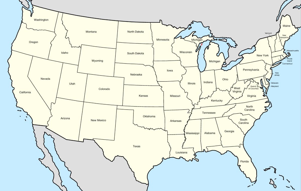
@savageupdatesBro actually showing the territorial map of the United States in 1926
Vedi post originale@savageupdatesBro actually showing the territorial map of the United States in 1926
Vedi post originaleFoto di @savageupdates· Sep 27, 2026· United States
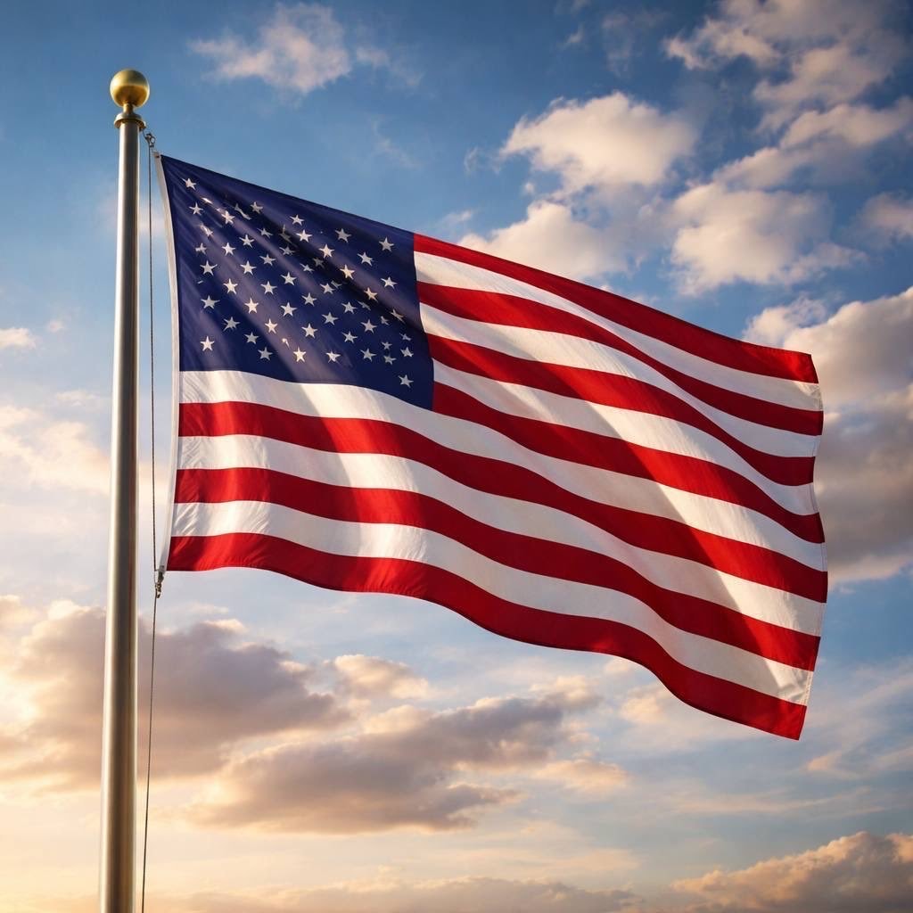
The image is a map of the United States with state borders clearly defined. Each state is labeled with its name in black text. The map has a clean, educational aesthetic. The Great Lakes are depicted in blue, and the surrounding ocean is also blue.
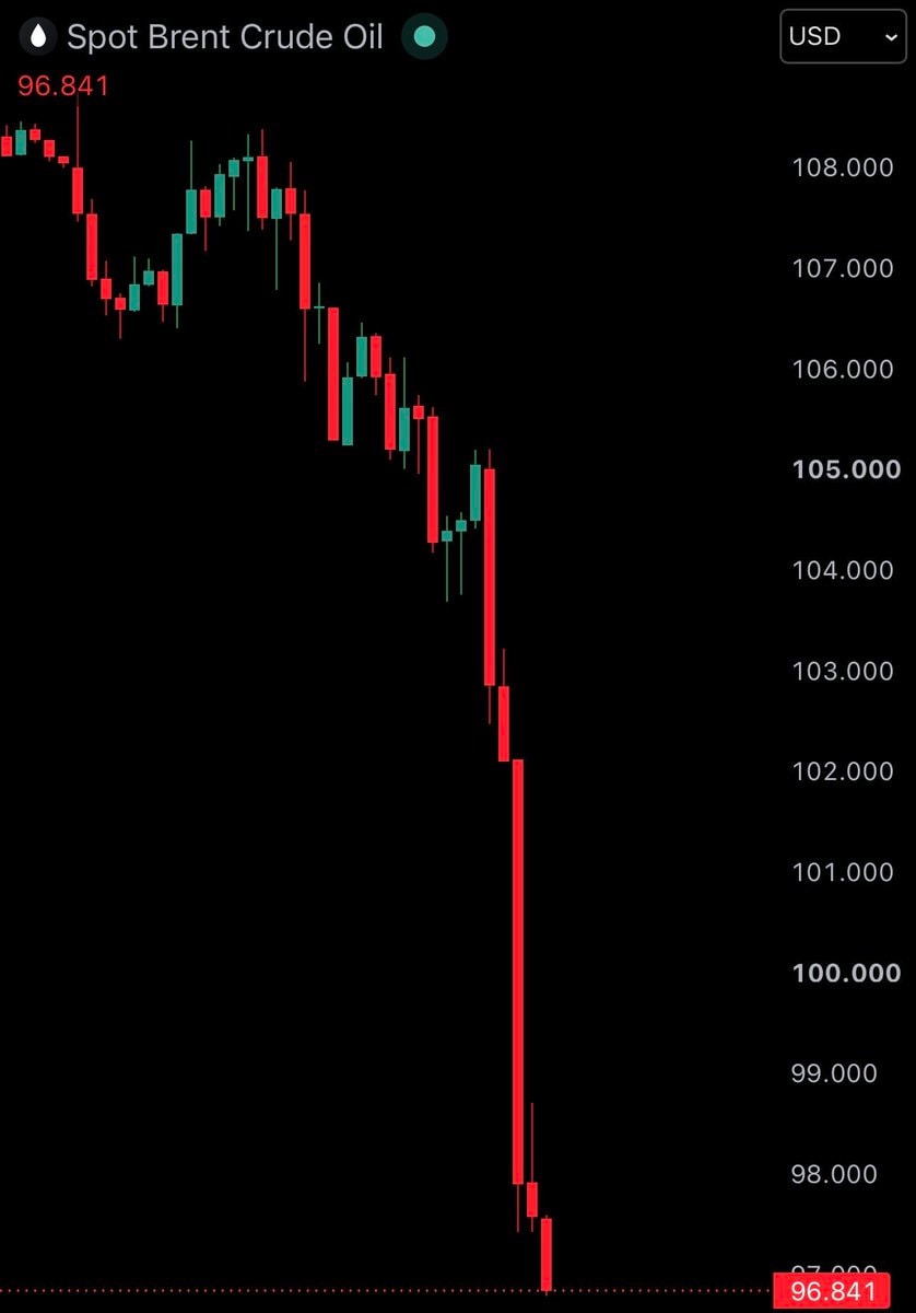 Brent crude oil chart
 US tech stocks surge after Democratic victory
 2Democrats win US House and Senate
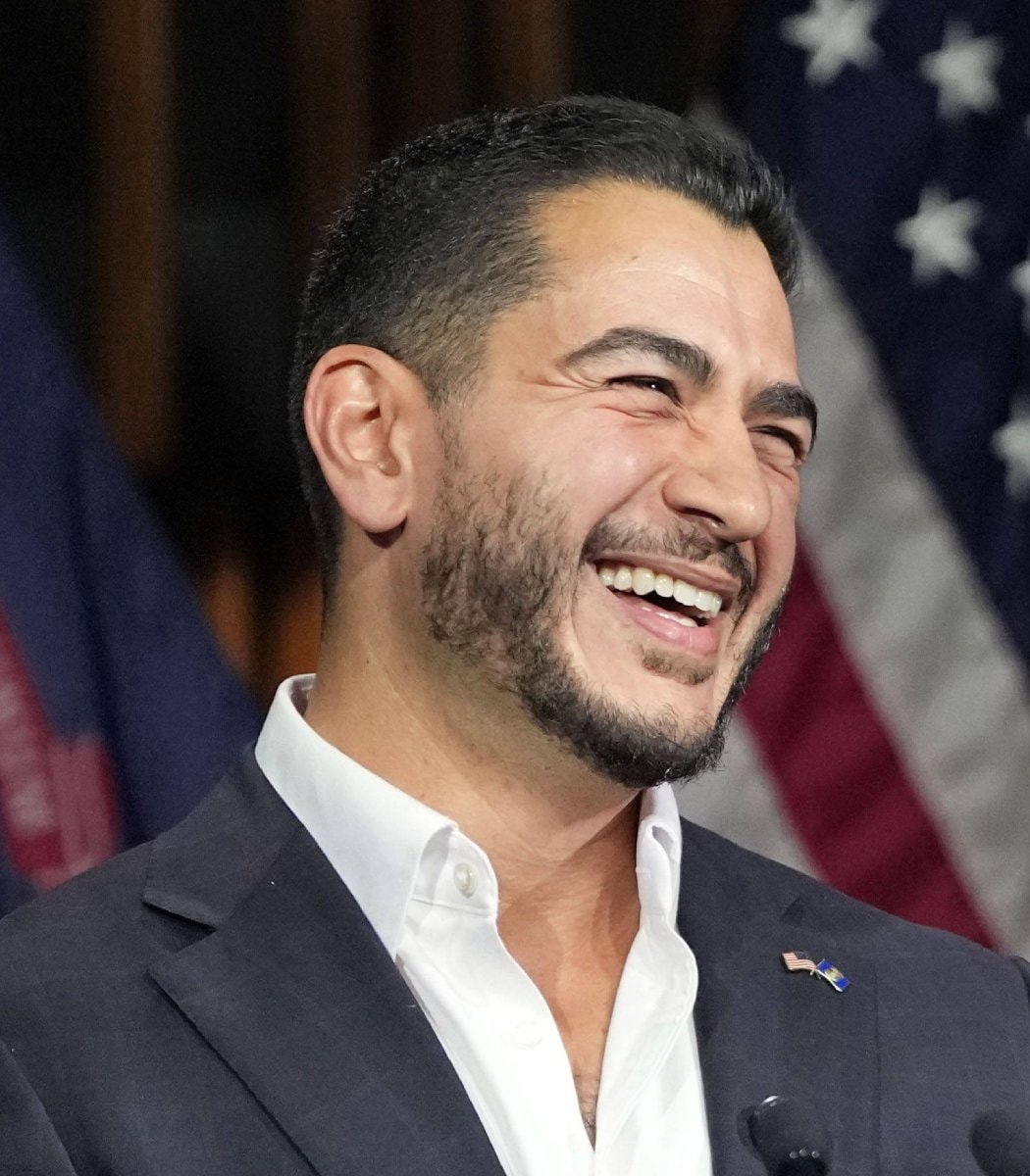 2Abdul El-Sayed Michigan election
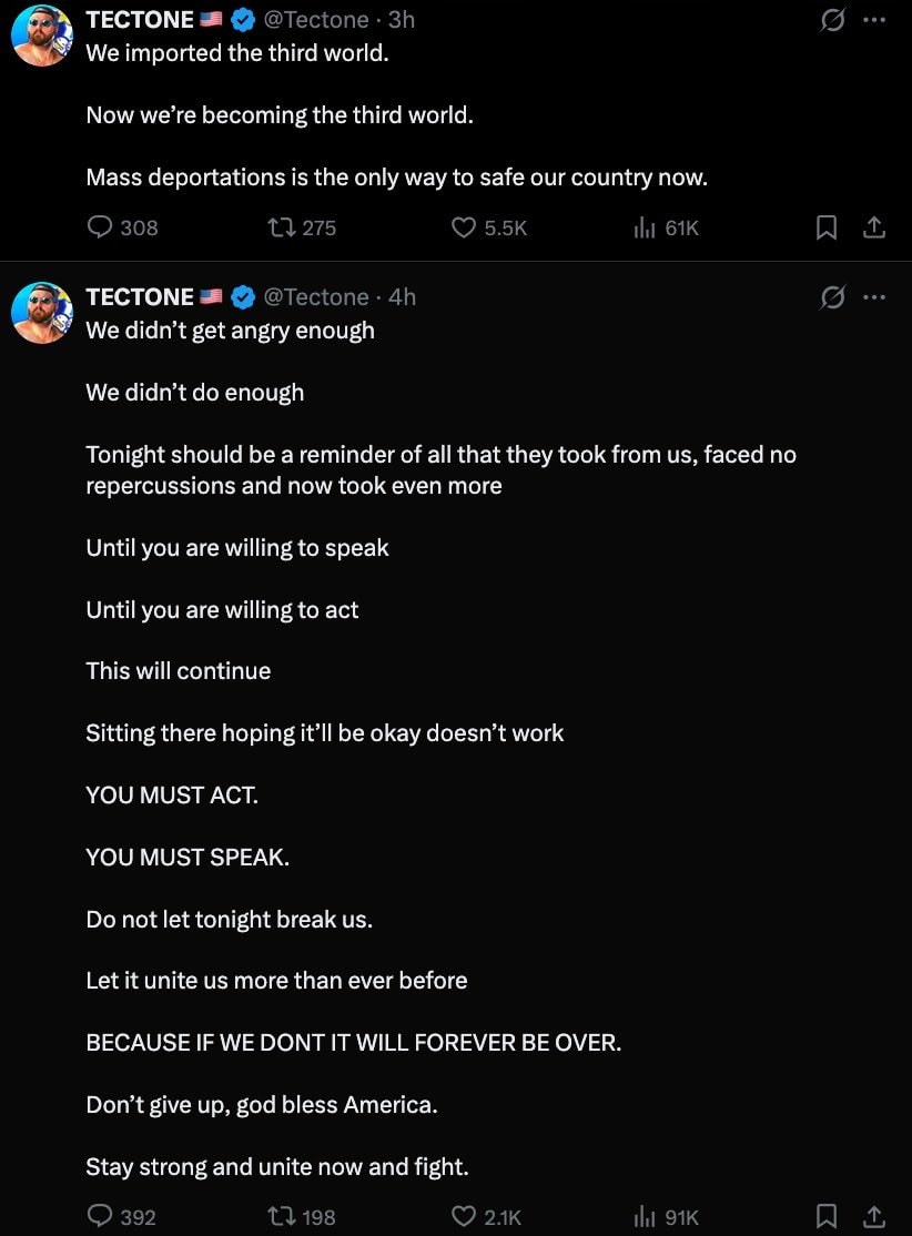 Tectone blue wave
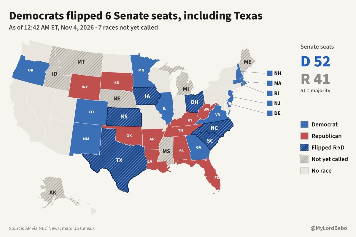 NBC News graphic shows Democrats flipping Texas
 2US stock market gain after Democratic victory
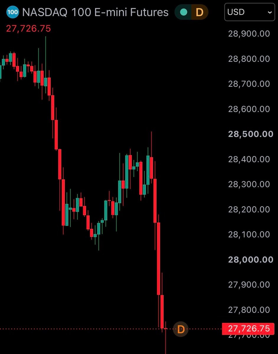 2US stock futures fall after election
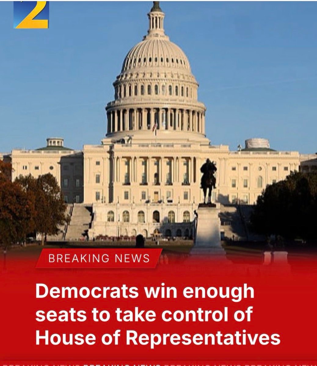 Democrats take House in US midterms
 Abdul El-Sayed first Muslim senator
 Columbia jacket I Voted sticker
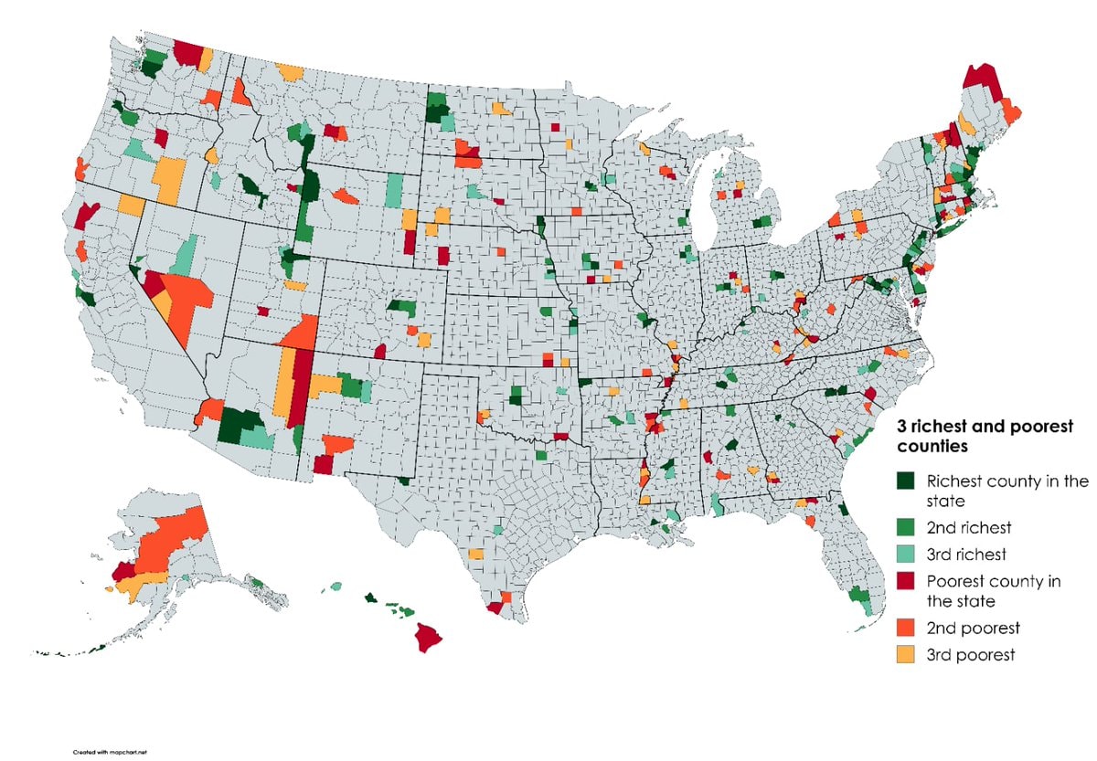 Richest and poorest US counties by state
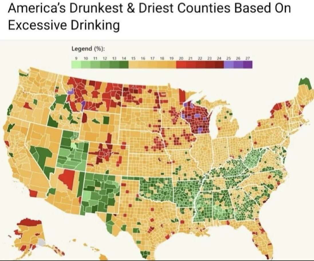 US counties excessive drinking map
 V-shaped lights over England speculation
 Josh Law Coast Guard rescue
 Trump administration election monitoring team
 2US funding to Israel ending
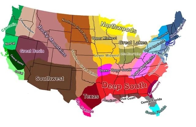 U.S. cultural regions map
@savageupdatesBro actually showing the territorial map of the United States in 1926
Vedi post originaleFoto di @savageupdates· Sep 27, 2026· United States
The image is a map of the United States with state borders clearly defined. Each state is labeled with its name in black text. The map has a clean, educational aesthetic. The Great Lakes are depicted in blue, and the surrounding ocean is also blue.
Ancora nessun commento. Sii il primo!
Brent crude oil chartUS tech stocks surge after Democratic victory2Democrats win US House and Senate2Abdul El-Sayed Michigan electionTectone blue waveNBC News graphic shows Democrats flipping Texas2US stock market gain after Democratic victory2US stock futures fall after electionDemocrats take House in US midtermsAbdul El-Sayed first Muslim senatorColumbia jacket I Voted stickerRichest and poorest US counties by stateUS counties excessive drinking mapV-shaped lights over England speculationJosh Law Coast Guard rescueTrump administration election monitoring team2US funding to Israel endingU.S. cultural regions map
Ancora nessun commento. Sii il primo!